Bike & Trek To Machu Picchu
Mountain bike through the Sacred Valley and trek the Inca Trail to Machu Picchu.
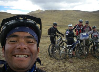
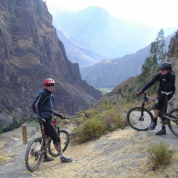
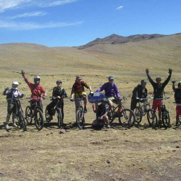
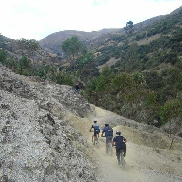
This is a challenging mountain biking tour, taking in the best trails from Cusco before the iconic hike to Machu Picchu.
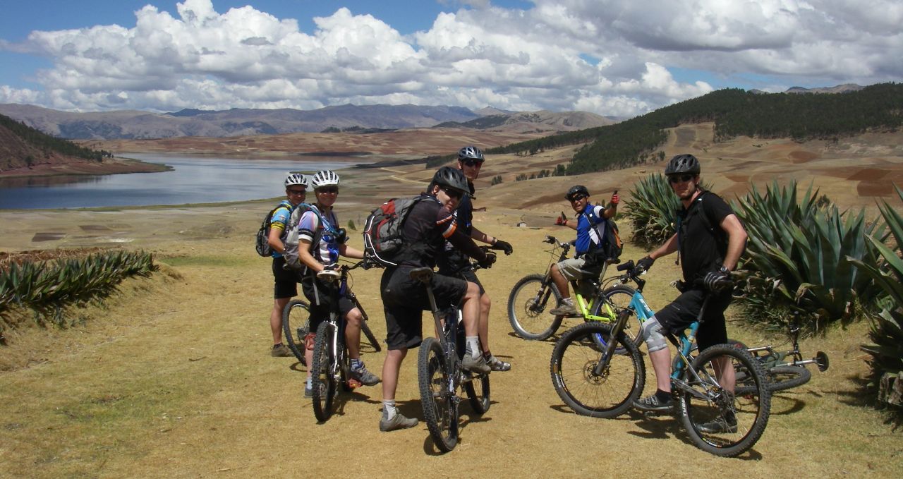
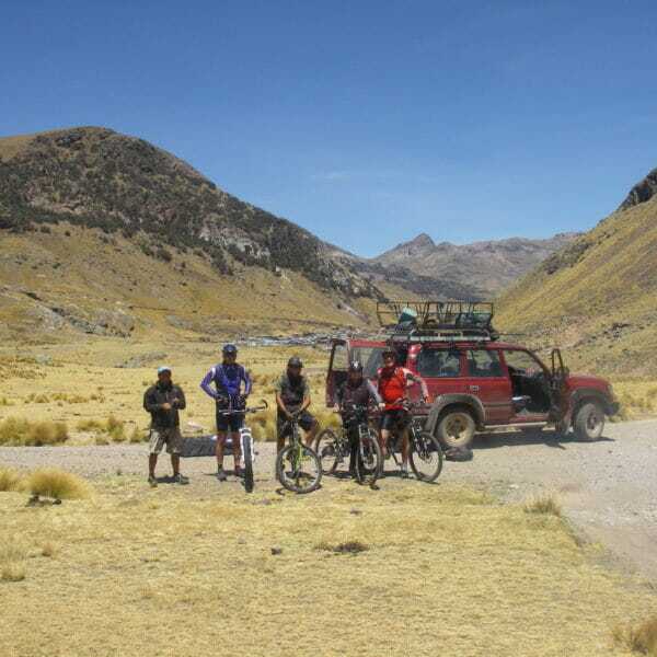
Our vehicle-supported mountain bike route takes us via ancient Inca sites.
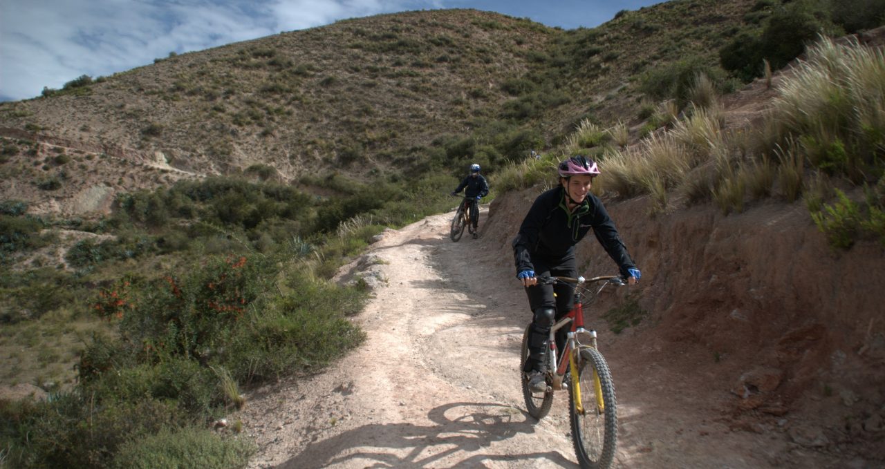
We cycle through remote communities above 4,000m/13,123ft with great views of mountains before we descend to the lower Andean valleys.
Mountain biking and Machu Picchu
The climate becomes increasingly warm and humid as we bike down the hills.
The many streams we encounter provide refreshing showers as we wend our way to the jungle town of Quillabamba at 1,000m/3,280ft.
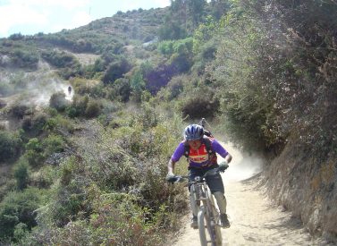
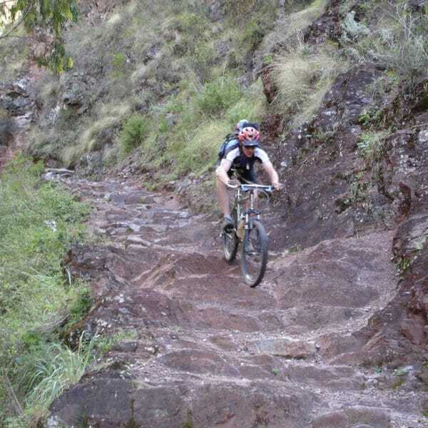
Our return route allows a 1,500m/4,921ft descent to Ollantayambo in the Sacred Valley – this is thrilling and beautiful mountain biking.
Inca Trail trek
After a day off we set off on the four day Inca Trail trek to Machu Picchu.
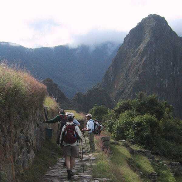
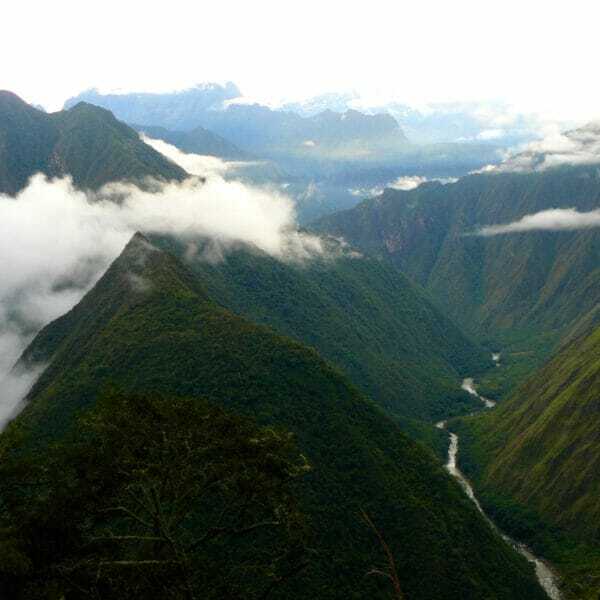
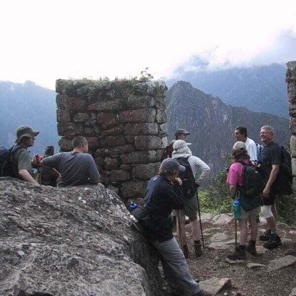
This stunning trek is the perfect finale to the trip as we pass Inca ruins, small villages and sweeping mountain scenery.
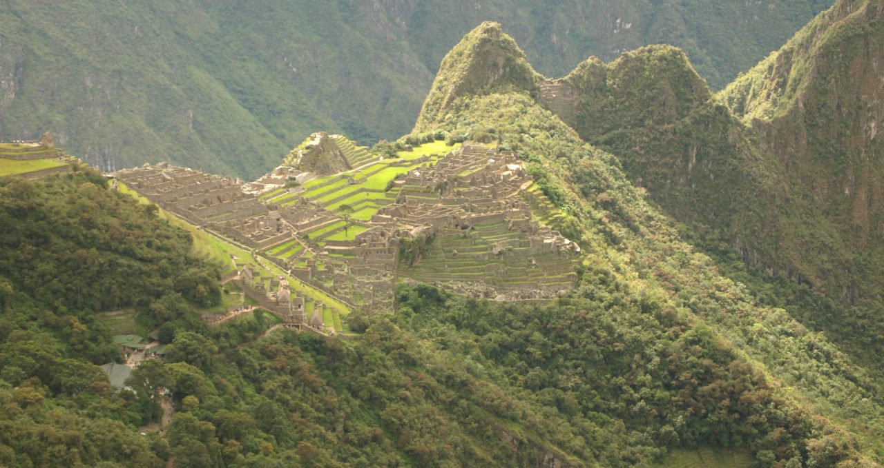
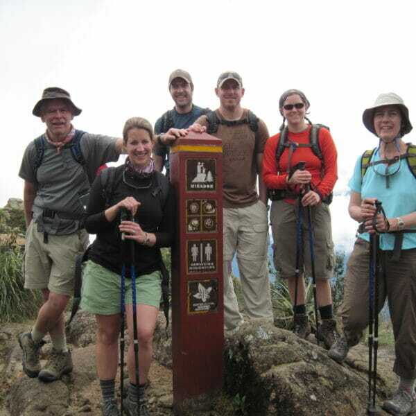
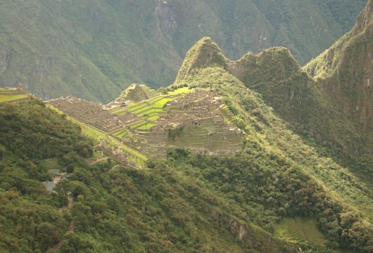
On the last day we arrive at the Sun Gate and catch the magnificent Machu Picchu ruins.
After our guided tour, and ample time exploring the ruins, we return to Cusco by train and relax before flying to Lima.
Trip Highlights
Print Share Download as PDF-
Mountain bike the best trails in the Sacred Valley.
-
Swoop down from the clear air of the Andes towards the steamy Amazon.
-
Thrilling descents on remote trails through Andean villages.
-
Finish with the iconic Inca Trail to Machu Picchu.
Mountain bike trip - I am a big mountain biker and the downhill was excellent!
Overall organisation was excellent. Would not change anything.
R. Martin, Biking in Peru
Full Itinerary
Day 1: Arrive Lima, transfer to hotel
Join tour in Lima.
Met on arrival and transferred into your hotel.
Day 2: Transfer to airport, fly to Cusco, afternoon city and ruins tour, hotel (B)
We take an early flight from the Pacific coast to Cusco (3,400m/11,155ft).
Having checked in to our hotel, we have all day today and tomorrow to absorb the unique atmosphere of Peru’s historical capital, while adapting to the altitude.
Your guide then leads you on a short walking and orientation tour of Cusco.
Day 3: Free day in Cusco, hotel (B)
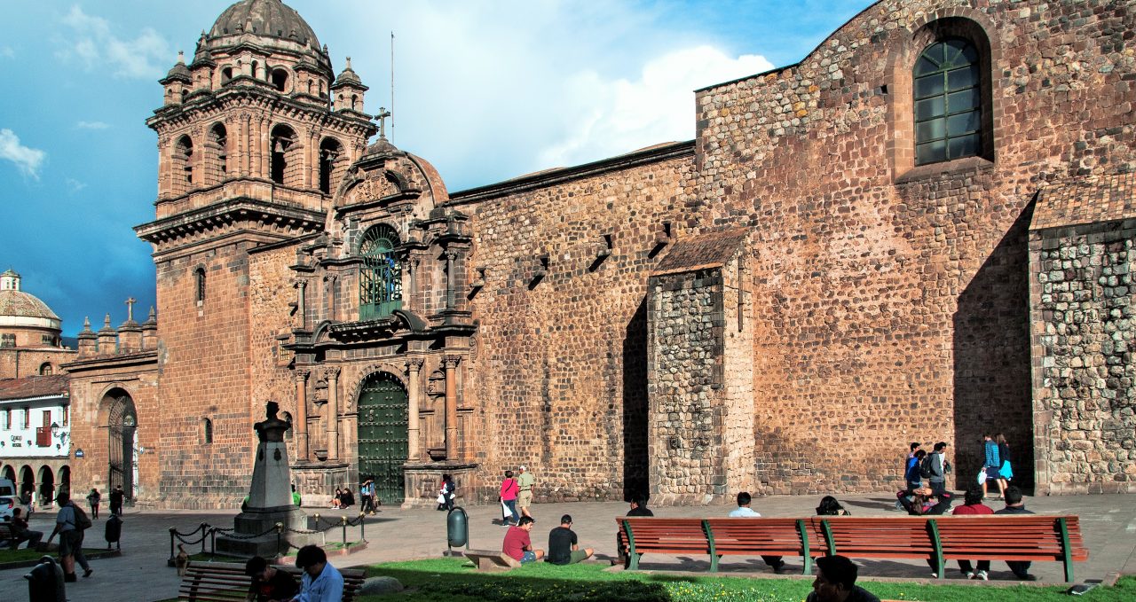
Cusco’s past is a fusion of indigenous and colonial.
This can be seen in the juxtaposition between perfectly interlocking Inca stonework and whitewashed Spanish-style streets. Cusco is a great city to lose yourself in its labyrinthine alleyways and teeming markets.
Just outside the town, and accessible on foot, are some spectacular archaeological sites such as Sacsayhuaman, a monumental temple-fortress of pharaonic proportions made up of precisely fitting stones, some weighing upward of 200 tons!
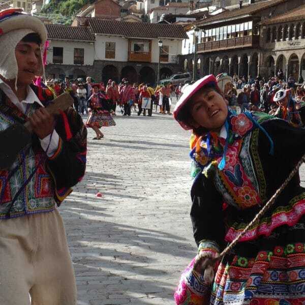
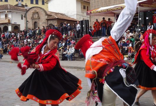
In the evening folk bands frequent the lively ‘penas’ for which Cusco is renowned.
Day 4: Bike via Maras salt mine and Calca, camp at Lares thermal baths (B,L,D)
Cusco to Lares thermal baths.
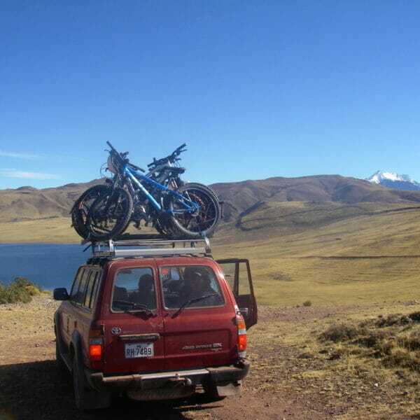
The day starts as the support vehicle, with the bikes stored on the roof, takes us from the hotel in Cusco to the lake at Huaypo at an altitude of 3,600m/11,811ft.
Within three hours of relatively flat cycling we reach the Inca terraces of Moray, dating back 500 years, these enigmatic circular terraces created a protected climate for the cultivation of Andean grains and tubers.
Enjoying breathtaking views of the peaks of Pumahuanca (5,318m/17,448ft), Chicon (5,530m/18,143ft) and Veronica (5,893m/19,334ft), we start a gentle descent to the village of Maras, whose inhabitants work the surrounding fields and are the community owners of the nearby salt mines.
Our descent gets steeper as we near the mines and see this impressive series of salt pans for the first time. First worked by the Incas in the 15th century, the water from a salty mineral spring is allowed to cascade into a series of terraces, where the water is evaporated off and the salt remains to be harvested by locals. All work is done by hand by the inhabitants of Maras, and the complex of crystal white terraces are an impressive sight for any visitor.
After stopping to explore, we continue to descend past the salt terraces to reach the valley floor at 2,900m/9,514ft, following the Urubamba River to reach the main Sacred Valley road. This is the first tarmac road we have seen all day, as all the cycling is done on minor dirt roads and gravel footpaths. From this point, we board the support vehicle for the 90 minute journey along the Sacred Valley and descent into the Urubamba Mountains above the town of Calca.
At the Calca pass, we mount the bikes again at an altitude of 4,100m, for a descent of 900m to the village of Lares, located at 3,200m/10,499ft.
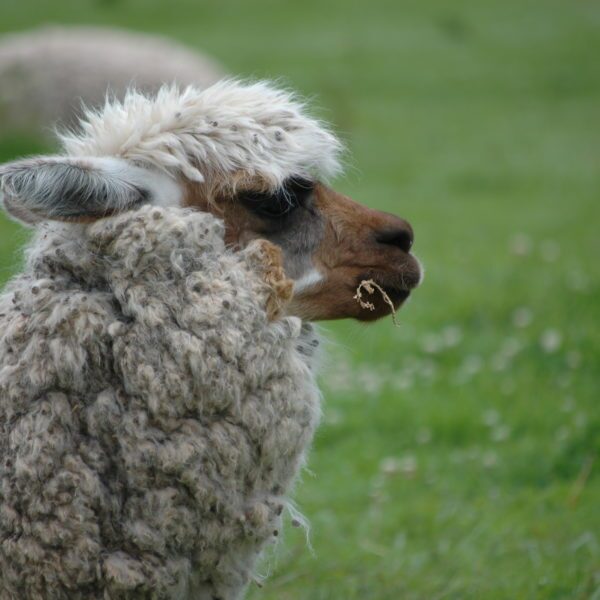
The high mountain scenery is dramatic, as we descend on a dirt road through hillsides of herds of llamas and alpacas. Within 2 hours we should reach the thermal springs at Lares, where we will camp and soak in the hot waters after a great day in the saddle.
Day 5: Bike to Colca, camp (B,L,D)
Lares baths to Colca village.
We leave the thermal springs behind to continue our descent into the lower valleys of the Andes. Starting at 3,200m/10,499ft, the views of the mountains are spectacular as we pass through remote rural communities, on this rarely traveled on dirt road which takes us all the way to the upper Amazon jungle.
Almost all of today’s ride is down hill, only interrupted by a few short climbs. By mid afternoon we should arrive at our camp close to the village of Colca at an altitude of 1,600m/5,249ft, a descent of 1,600m in a single day.
Day 6: Bike from Colca to Quebrada village, camp (B,L,D)
Colca village to Quebrada village.
The descent flattens now as we have an undulating ride deeper which takes us the fertile valleys of the Convencion region of Peru, where we will pass orchards of papaya, avocado, peach and bananas.
The climate is now hot and humid, and the many streams which cross our route provide a refreshing shower along the ride.
After a total descent of 500m, we reach our camp close to the village of Quebrada, located at 1,100m/3,609ft above sea level.
Day 7: Bike from Quebrada village to Quellono, camp (B,L,D)
Quebrada village to Quellono village.
Today, the ride is relatively flat, as we take it slowly through rolling valleys of Quillabamba. This region is rarely visited by tourists, and we will be able to enjoy fresh fruit sold at the roadside by local inhabitants.
The temperature may rise above 25ºC, so the juices and the clear mountain streams are a welcome relief. By mid-afternoon we reach our destination close of the village of Quellono, where we camp nearby at an altitude of 850m/2,789ft.
Day 8: Bike to Quillabamba, hotel (B,L)
Quellono village to Quillabamba town.
For the previous three days we have been following the Yanatile River as it flows from the high Andes to the Amazon, but we have reached the union of the Yanatile with the Vilcanota River, the latter of which flows from the Sacred Valley past Machu Picchu to reach Quillabamba.
Now we must follow this river upstream to reach Quillabamba, a climb of only 250m, but the support vehicle maybe a help in case the legs are not willing.
We should reach Quillabamba by early afternoon, where we will check into our comfortable hotel and have the rest of the day free to relax and explore this vibrant market town.
Day 9: Quillabamba to Ollantaytambo, hotel (B,L,D)
Quillabamba town to Ollantaytambo.
After a good nights sleep in a comfortable bed, we leave Quillabamba in the support vehicle, following the Vilcanota River for an hour along fertile valleys of fruit orchards, then we climb high into the mountains to reach the Malaga Pass, located at 4,350m/14,272ft.
This is where we mount the bikes once more for the descent into Ollantaytambo town in the heart of the Sacred Valley. A thrilling last descent of 1,500m in just 35km ands an exciting cycling adventure to some of the least visited areas of the Cusco area.
We should reach Ollantaytambo by mid afternoon, where ther is time to visit the spectacular Inca ruins or explore this traditional village. Then we will return to Cusco in the support vehicle, taking around two hours to the hotel.
Alternatively, Ollantaytambo has several good hotels and is an excellent place to stay the night and then continue to Machu Piccchu the following day.
Day 10: Rest day, hotel (B)
Rest day.
Day 11: Transfer to Inca Trail trek begins, camp (B,L,D)
We leave Ollantaytambo early and drive by bus to the village of Chilca, the starting point of our trek.
The Inca Trail formed only a small part of the extensive network of Inca highways, but this ‘Royal Road’ to Machu Picchu, reclaimed from the cloud forests only this century, clearly had important ritual functions and probably served as a sacred pilgrimage route related to the veneration of natural and celestial phenomena.
Many well-preserved and finely-constructed sites along the trail also suggest that access was limited to an elite. Its (and Machu Picchu’s) absence from early Spanish chronicles demonstrates that its existence was not known about during colonial times, and explains why the Inca religious structures escaped destruction at the hands of the Spanish conquerors.
The Trail is a paradise for botanists and birdwatchers due to the rapid succession of ecological and climatic zones which are crossed. The region’s flora includes 60 species of orchid, and the varied avifauna includes hummingbirds and various species of birds of prey.
For most of the first day we walk through a temperate environment.
At Chilca, where we start the trek, you walk down to the entrance, where your tickets are checked. Sign in, cross the bridge and make a left turn following the trail gently along the river bank until uphill we reach a eucalyptus grove and Llactapata – the first major ruins on the route. Vast retaining walls have converted the steeply sloping hillside into agricultural terraces: an amazing sight.
Just below Llactapata the Río Cusichaca, a tributary of the Urubamba, takes a spectacular plunge into the ground and runs through a subterranean channel for some way. The trail climbs steeply out of the ruins over a low pass, and the hike up the valley begins.
After about an hour you’ll reach a bridge, putting you on the other side of the valley, and will continue on to the village of Huayllabamba (3,000m/9,843ft). You will reach it in a further half hour.
By this time it is likely to be very hot and you will welcome the cold drinks at the village which makes its living out of Inca Trail hikers.
First night camp with basic facilities.
Distance: 11.1km/6.9 miles
Highest point: 2,912m/9,554ft
Starting altitude: 2,753m/9,032ft
Finishing altitude: 2,885m/9,466ft
Height gained: 398m/1,306ft
Height lost: 302m/991ft
Day 12: Trek over first pass, camp (B,L,D)
We break camp and set off with our big target in mind – Dead Woman’s Pass!
Our path enters woods – first scrub, then very beautiful cloud forest where the trees are hung with moss. These fairy-tale woods will help keep your mind off the fact that you are still going steeply uphill with no sign of respite.
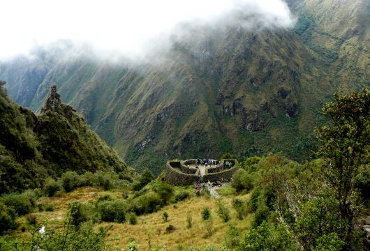
Eventually, however, the trees become more stunted and you emerge into a meadow, Llulluchapampa. From The Forks to the meadow is about two hours. This is the last campsite before the pass, aptly named (if you are a female hiker) Abra de Huarmihuañusqa, ‘Dead Woman’s Pass’ (4,198m/13,773ft), which you can see ahead of you.
It will take you about another 90 minutes hours to climb to the top of the pass. This is the highest point on the trail, so take heart – if you survive this, you’ll survive the other passes. Take time to look around you. You should be able to pick out the circular ruins of Runkuracay ahead, just below the next pass.
The descent is steep but not difficult. Just follow the trail on the left side of the valley to the valley floor and the next designated campsite at Pacamayo (3,600m/11,811ft).
Nearby are some huts with basic toilets and sinks built by the INC.
Camp for the evening.
Distance: 12.3km/7.7 miles
Highest point: 4,222m/13,852ft
Starting altitude: 2,885m/9,466ft
Finishing altitude: 3,603m/11,821ft
Height gained: 1,361m/4,465ft
Height lost: 613m/2,011ft
Day 13: Trek to Huinay Huayna, camp (B,L,D)
From Runkuracay the path is clear over the second pass (Abra de Runkuracay, 4,000m/13,123ft) and, excitingly, much of the time you are on Inca steps. The descent down the steps is steep, so take care.
Just before the trail turns right, you’ll see the sign for Sayacmarca. These ruins lie about an hour from the top of the pass and the name, which means ‘the Inaccessible or Secret City’, is apt. You approach Sayacmarca up a superbly designed stone staircase. This is a diversion (the main trail continues its gradual descent to the right) but don’t let fatigue persuade you to miss it.
Like so many Inca ruins, no one really knows the purpose of Sayacmarca, but these are the visible facts: it was built on a precipice commanding a spacious view; there are no agricultural terraces so the complex could not have supported many inhabitants; ritual baths and an aqueduct run round the outside of the main wall; there are curious stone rings set in the wall by trapezoid openings. For us the mystery adds to the beauty, and it is beauty all the way from here – if you are fortunate with the weather.
The trail continues down to the valley floor. From here it becomes a glorious Inca Road, being on a raised causeway over marshy ground that then rises up through cloudforest. Stone paving on raised stone foundations, steps and a gentle gradient make for easy walking, and even if it is raining (and it does at times) you will marvel at the Inca workmanship.
Before the climb to the third pass there is a campsite with basic toilets. During the ascent you climb through two Inca tunnels, and if it is a clear day you will have the added bonus of a view of Salkantay over to your left. The pass (3,700m/12,139ft) is used as a campsite, but it gets crowded and water is some way below. Just below the pass, about 2 hours from Sayacmarca, are the impressive ruins of Phuyupatamarca. Access is down a steep flight of stairs. Clear water runs through the channels cut into the rock that feed five baths, leading one from the other down the hill (you may camp here).
An Inca staircase leads from the west side of the ruins (the far end from the baths) and disappears into the jungle, leading you down a thousand steps. Literally. You’ll think that your knees will never feel the same again.
The trek arrives at the campsite near the ruins of Huiñay Huayna (Wiñay Wayna). This is the last camping spot before Machu Picchu and it is often very full. Basic camping facilities, toilets, running water.
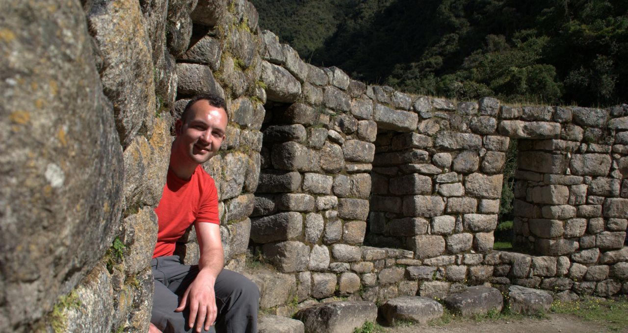
Huiñay Huayna lies just below the campsite, round to the right as you are descending, and is the most extensive of the ruins so far.
It has some beautiful stonework, a fantastic location, and an air of mystery often lacking in the crowded Machu Picchu ruins.
Distance: 12.9km/8 miles
Highest point: 3,893m/12,772ft
Starting altitude: 3,603m/11,821ft
Finishing altitude: 2,732m/8,962ft
Height gained: 1,185m/3,888ft
Height lost: 1,345m/4,413ft
Day 14: Arrive Machu Picchu, guided tour, train to Cusco, transfer to hotel (B)
When we arrive there is plenty of time to take photos of Machu Picchu. We walk down through the site to the main entrance where you can safely leave your backpacks. You can also use the toilet and have a drink in the restaurant just outside the entrance. We head back into the site for a complete tour of the major sectors of Machu Picchu. The tour takes about two hours so by about mid-morning you’ll be free to continue to explore the ruins alone.
The train back to Cusco leaves from Aguas Calientes, the nearest village to the ruins of Machu Picchu, at approximately 16:30 and you get back into Cusco for about 21:00.
We suggest that after visiting Machu Picchu you take the bus down to Aguas Calientes at 15:30 at the latest (depending on your train departure time). Buses depart every 15 minutes. Check with the guide for actual times. This leaves you plenty of time at the site or to do one of the other walks nearby.
There are many restaurants in Aguas Calientes to satisfy all tastes and budgets. Of course you could also visit the hot springs that Agues Calientes is named for, which will help ease those aching muscles. Entrance to the springs costs US$5, and you should allow a couple of hours to fully enjoy them.
Distance: 7.9km/4.9 miles
Highest point: 2,739m/8,988ft
Starting altitude: 2,732m/8,962ft
Finishing altitude: 2,452m/8,046ft
Height gained: 311m/1,020ft
Height lost: 377m/1,237ft
Regulations (August 2011) mean that the number of visitors to Machu Picchu is limited to 2,500 people per day. This means that you must pre-book your entrance to the site. The entry ticket cannot be purchased in Aguas Calientes/Machu Picchu pueblo but must be bought in advance (by us) in Cusco.
On the 5 day Inca Trail if you wish to visit the site on your last day (day 5) you will need to reserve and pay for your entrance ticket at the time of booking. The cost is USD 80 per person.
If you wish to climb Huayna Picchu or Machu Picchu mountain, places now also have to be pre/booked and come at an additional cost.
Machu Picchu mountain has to be climbed before 11am, and there are two departure times for Huayna Picchu:
Group 1 (G1): 0700 – 0800
Group 2 (G2): 1000 – 1100
The price is USD 80 including the entrance fee to Machu Picchu.
Day 15: Free day in Cusco, hotel (B)
Free day in Cusco with the chance for some low-energy shopping or more energetic white water rafting (optional) on the Urubamba river.
Day 16: Transfer to airport, fly to Lima, tour ends (B)
Fly to Lima, tour ends Lima.
Prices From $4,617 / £3,754 per person
What's Included?
All meals and water on trek, all breakfasts elsewhere, bikes and helmets, support vehicle for bike trip, domestic transportation, guide, hotels 8 nights, camping 7 nights, communal camping equipment (tents, cutlery etc).
What's Not Included?
International flights (we can look for prices for you), other meals, snacks and drinks, personal expenses, airport taxes, optional excursions (i.e. rafting), extra entrance fees, tips, alcoholic or soft drinks, laundry, cycling gloves/trousers/shorts, sleeping bag.
Accommodation
In towns and cities we use 2-3* hotels (upgrades available at extra cost).
Biking and trekking: Two man, mountain tents. One night on the bike trip involves a basic, rustic lodge.
Tour Staff
You have separate biking and Inca Trail guides.
Once they meet up with you, they stay with you throughout that section of the trip, advising you of any changes in plan etc.
Biking: Local, bilingual, English-speaking guides with a passion for biking will lead you to their favourite destinations.
Trekking: All guides are certified, bilingual, English-speaking Inca Trail guides who have worked with us for many years.
Meals
Almost all dietary requirements can be catered for – please contact us in advance. Treated water is available on all organised trips.
Biking and trekking
Breakfast is usually around 07.00. Your meals are prepared and served to you and will be a mix of hot drinks, cereals, fruits and toast with jams.
Lunch will be either sandwiches or meat and cheese, with snacks etc. Evening meals are usually pasta or rice dishes served in the dining tent.
Inca Trail
See below examples of standard and vegan Inca Trail menus.
Standard menu
A typical day’s menu would be something along the following lines:
Snack: Mandarins and granola bar
Breakfast: Porridge , bread, butter, jam, milk, coffee, tea, fruit juice and fruit salad.
Lunch: Wantan (deep-fried pastry filled with cheese and ham), quinoa soup, chicken with stir fried rice, corn salad
Afternoon tea: Biscuits, pop corn, coffee, tea, infusions.
Dinner: Vegetable soup, meatballs with gratin potatoes and rice, salad selection and swiss chard pie, fried bananas.
Special dietary requirements
People with special dietary requirements are well catered for. A typical day of vegan fare on the standard Inca Trail could be:
Breakfast: Corn bread, fruit salad, soya yoghurt, quinoa flakes, hot drinks.
Lunch: Vegetable soup; broad bean, carrot, mushroom and seaweed salad with “sancochadas” potatoes. Hot drinks.
Dinner: Vegetarian minestrone soup, sautéed green beans with soya meat, vegetables and rice, poached apples. Hot drinks.
Celiacs/gluten free diets are catered for by replacing rice and pasta with quinoa, canihua and quiwicha as well as special produce such as camote (sweet potato) bread.
Water on the trail
You will be provided with boiled water every morning, and evening – fit for drinking. There are always generous amounts available.
The sterilising tablets ‘MicroPur’ can be bought in most pharmacies in Cusco. With these you put the tablets in the water and then wait 40 minutes before drinking. Try to ensure that the mouth of the bottle is also fully sterilised, by tipping your bottle up and down and allowing sterilised water to flow out before you drink.
Activity Level
Biking: After breakfast, packs are prepared and your guide will explain the day’s walk/ride, and you typically walk/ride 3-4 hours in the morning before lunch, with a short or break or two en route. Most cycling is downhill on the bike ride. After an hour or so for lunch – depending on weather conditions – you will continue usually 3-4 hours more, although some days are shorter or longer than others, and then relax before dinner at camp. You may be asked to help out with the construction of tents, depending on group size.
Trekking: Wake early, usually around 07.00, and, after eating and then packing your daypack, we set off walking, usually for a couple of hours at a time, with plenty of breaks to rest and explore ruins.
Lunch is usually around 13.00 and can feature soups, meats, salads and fish, with vegetarian options and hot drinks too. We aim to get to camp about 16.00 on most days, and your tent will be set up for you, although you may be asked to help out if conditions have been bad and the team needs help.
The campsites are comfortable and around 17.00 hot drinks, popcorn and other snacks are served to help you recover energy. Dinner is served around 19.30, and will feature pasta, mashed potatoes, meat, fish or vegetarian options, followed by hot drinks and a pudding.
Most people go to bed fairly early after a long day trekking, to recover energy for the morning. Campsites may vary from those indicated above as Inca Trail camping spots are assigned by the government.
Practical Information
Introduction to Peru
Peru is the perfect holiday destination for adventure travellers that want an amazing variety of activity, geography and cultural travel experiences.
The breadth of travel experiences in Peru is breathtaking – from trekking in the Andes to Machu Picchu to the tropical jungle of the Amazon, and plenty in between.
The people of Peru make it a special destination too, with its colourful and traditional street life and friendly locals.
Geography of Peru
Peru is made up of 3 distinct geographical areas: the coast, the mountains and the jungle.
The costa or coastal region is a narrow ribbon of desert 2,250 km long, crossed by fertile river valleys flowing from the Andes. It takes up 11% of the country and holds more than 40% of the population.
The cold Humboldt current gives rise to a blanket of mist – the garua – which hangs above coastal cities like the capital Lima from May to November.
Heading east, you’re soon climbing above the garua and into the Andes. The sierra, or mountainous region, covers some 25% of Peru’s territory and contains 50% of the population. The sierra inhabitants are mainly Indigenous or Mestizo, and many still speak Quechua or Aymara.
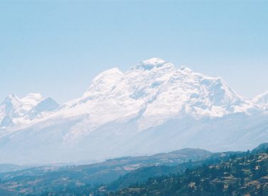
The sierra contains dozens of 6,000-metre snow peaks and volcanoes, including Huascaran (6,768m) the highest mountain in the tropics. The deep valley basins contain most of the towns and arable land; the terracing and canal systems of the Incas and pre-Incas are often still used today.
The eastern Andes are heavily forested up to 3,350m and sweep down into the Amazon Basin.
Peru’s selva or jungle makes up almost two thirds of the country’s area, but holds only about 6% of the population: the only towns with significant populations are Iquitos and Pucallpa.
Kit list
Book with Andean Trails and get 15% off Páramo’s fantastic ethical and high performance outdoor gear.
We will be experiencing all extremes of Peruvian climate as we travel through this trip.
In the mountains, during the day, hopefully it will be generally sunny enough for shorts and T-shirts though having a fleece and rain gear handy is advisable. It will get cold (as low as -5’C whilst camping) especially in the evenings so bring a warm fleece jacket, a good waterproof and some warm clothes including thermal underwear, gloves, scarf and woolly hat as well as one set of smarter clothes for Cusco.
In the cloud and rainforest we recommend you wear long-sleeved shirts and trousers to avoid the strong tropical sun and persistent sand flies. A good quality sleeping bag is essential for your enjoyment of the walking element of this trip.
Note that some items appear more than once on these lists.
Biking
Mountain bike (these can be rented, or bring your own), camel-bak, bike shorts, biking T-shirts (long sleeved), biking trousers, raincoat / rain trousers / poncho, after bike trousers & t-shirt – we provide a general toolkit on all trips, but please bring any specialist spare parts for your bike with you or SPD pedals etc).
Trekking
When planning for the climatic conditions encountered in the High Andes, layering is the most practical and versatile clothing system. It’s worth remembering that our clothing keeps us warm by retaining and isolating the heat we ourselves create. To best maintain body heat, several layers of lightweight, warm and quick-drying clothing are far more efficient than one or two thick layers. Layers should have the following qualities: breathability (able to wick away the humidity produced by sweat), isolation (able to keep in the warm air our body produces), and impermeability (able to impede the passing of wind and water).
First (base) layer
This layer wicks the sweat away from our skin, thus helping keep the body dry and warm. To this end, synthetic fabrics such as polypropylene should be used.
Mid layers
These isloating layers should also be synthetic (e.g. the known polar linings such as polartec or windblock, which are light and insulate twice as well as wool). Very important layers for retaining body heat.
Outer layer / Shell
Finally, the vital layer which protects us from climatic adversities. A breathable, wind-proof and waterproof anorak, such as Goretex.
Give plenty of thought to kit selection, and try to keep weight down. Below is a more detailed guide.
Feet
2 pairs synthetic inner socks (e.g. polypropylene, thermastat, coolmax) and 2 pairs thick loop-stitch/wool socks for cold.
Trekking boots – should be well broken-in, waterproof and provide good ankle support.
Trainers/Sandals For city-wear, evenings at lower camps & river crossings.
Legs
Base layer leggings (1 pair).
Thick fleece leggings (or salopettes) (1 pair).
Goretex-type over-trousers (or salopettes) (1 pair).
Trekking trousers (2 pairs).
Shorts Wear sparingly in early stages at altitude, as sun burns.
Body
Thermal base layer shirts (2).
Microfleece mid-layer shirt (1).
Shirt/T-shirt 1 or 2 for lower altitudes. Long-sleeved, collared shirt protects against sun.
Fleece jacket or similar (1).
Warm jacket (down or synthetic). For camp and upper slopes.
Waterproof Goretex-type jacket.
Swimming costume for hot springs
Head and neck
Broad-brimmed sunhat, essential.
Warm hat Fleece or wool. (N.B. Up to 30% of body heat can be lost through the head).
Sunglasses with UV filter
Scarf For cold.
Bandanna To protect neck from strong sun.
Hands
Light inner gloves, Warm gloves E.g. fleece, and outer waterproof gloves or mittens (1 pair) Mittens allow you to keep the fingers together, and better conserve heat (though they also make it difficult to perform certain tasks).
Technical kit
Daypack (At least 30 litres). Comfortable and with waterproof lining or cover.
Pair of telescopic trekking poles (optional)
Duffel bag or large rucksack for extra clothing, carried by horse or mule while you are trekking.
Sleeping bag, 4 season
Other expedition kit
Water bottle (2 litres approx).
First-aid kit.
Towel & wash-kit.
Wet Wipes/antiseptic hand-wash cream.
Sunscreen (factor 40+) and lip salve.
Head-lamp (Plus spare bulb and batteries).
Penknife.
Alarm clock.
Plastic bags ‘Zip-loc’ & tough bin liners.
Camera with spare film/memeory cards/batteries so you don’t run short.
Book or e-book, music player or other to help pass the time in the tent.
Binoculars & Spanish phrasebook.
All non-personal trekking and camping equipment is provided
General
Money belt, passport, U.S. dollars cash mixed-denomination notes undamaged and unmarked, Peruvian soles for local purchases, ATM cash card, inoculation certificates, personal & medical insurance certificates, notepaper and pen, spare glasses/lenses, smart clothes for nightlife, comfortable clothes for journeys, swim suit, personal toilet kit. Personal first aid kit to include: painkillers, plasters (band-aids), moleskin, anti-septic cream, after-bite, anti-diarrhoea tablets, throat lozenges, re-hydration salts & personal medication – we carry an extensive first aid kit & oxygen on all trips, but these are generally for emergencies only)
Weather in Peru
You can also read about the weather of Peru in our blog.
Peru is located in the southern tropics (latitudes 0º to 18º), but climate varies significantly according to season, altitude and region.
Lima & the coast
From May to October, Lima is often overcast, but with minimal precipitation. There are sunny spells, and it’s a fresh to pleasant 13-20ºC.
At the same time, inland areas and the north coast mid to high 20’s ºC.
November to April is generally warm and sunny and Lima enjoys warm temperature of 19-25ºC, with the coast averaging 22-30ºC.
The Andes
Climate depends largely on altitude. As a rule of thumb, below 2,000m climate is mild and above 2,000m warm clothing is required for evenings, nights and early mornings.
The Andean sun is very strong.
May to Oct (dry season in The Andes)
Cusco (3,300m): Average max/min temps: 22ºC /2ºC. Average 3 or 4 wet days per month.
Arequipa (2,380m): Average max/min temps: 26ºC /9ºC. Sunny more than 340 days/year with minimal precipitation.
On highland treks: Conditions are generally dry. However, at this time of year, expect a range of conditions within a single day: cold/freezing nights at camps above 4,000m, where pre-dawn temperatures can be -5ºC; warm, spring-like mornings and afternoons; and cold evenings.
Note that mountain weather can be fickle and localised, and that precipitation is not unknown in the dry season. Expect temperatures to swing between sun and shade, sheltered and exposed ground and with altitude gain and loss. A quick-setting sun means temperatures drop fast.
In the cloud forest, e.g. around Machu Picchu, daytime conditions are generally warm or hot, and evenings cool.
Nov to March/April (wet season in The Andes)
Cusco: Average max/min temps: 23ºC /6ºC. Average 13 wet days per month.
Arequipa: Average max/min temps: 25ºC /14ºC.
On highland treks: Wetter conditions, with cooler days and milder nights than dry season. Jan-Mar usually the wettest months.
The Amazon rainforest
Year-round, weather conditions are hot and humid and there is always the risk of rain
There is a ‘dry season’ in Tambopata and Manu between May and October. The average daytime high temperature is between 25°C and 34°C and the average nighttime low is between 16°C and 22°C. Heavy downpours typically occur every few days.
Around 80% of annual average rainfall – approx 2,000 mm in Manu and Tambopata and 1,400 mm in Iquitos – occurs in the wet season Nov-April.
On rare occasions, between May and September, cold fronts from Argentina – ‘friajes’ – can sweep into southwest Amazonia and push temperatures down to 9° C. (Friajes usually last between 1 and 3 days).
ATOL holiday protection
Andean Trails has 25 years of experience of putting together the best South America holidays.
We pay a fee to the CAA for every licensable passenger we book since we hold an Air Travel Organiser’s Licence granted by the Civil Aviation Authority. In the unlikely event of our insolvency, the CAA will ensure that you are not stranded abroad and will arrange to refund any money you have paid to us for an advance booking.
We also offer ATOL (Civil Aviation Authority) protected holidays to give our customers peace of mind when booking and travelling.
When you buy an ATOL protected air holiday package from Andean Trails Ltd you will receive a Confirmation Invoice from us confirming your arrangements and your protection under our Air Travel Organiser’s Licence number 6275.
You can read more about ATOL, who is covered and what protections you have if not ATOL-covered, on our ATOL page.
What is ATOL?
The CAA’s ATOL scheme offers protection to your money and your holiday if you book with us. Not everybody is covered (see ‘Who is covered?’ for more), as you must purchase an ‘air package holiday’ with Andean Trails to be protected.
And ‘air package holiday’ is defined as including a flight and some ground services (hotel, transfer, trek etc). This is also known as an ‘ATOL-protected holiday’.
Who is covered?
To be covered by ATOL, you must book a flight and some ground services with us and be from the UK. If you are from the UK and only book ground services and no flights, you are not covered by ATOL (see below for more on how non-ATOL clients are covered).
If you are outside the UK and buy flights with us, you will be ATOL protected IF any of the flights booked with Andean Trails touches/stops in the UK at any point during your holiday package booked with us.
If you buy your flights elsewhere, please check with that agent if you are ATOL protected. Be careful with online flight purchases and make sure you know what protection you have, if any, before paying for flights.
Not all holiday or travel services offered and sold by us will be protected by the ATOL scheme. Please ask us to confirm what protection may apply to your booking.
For land only holidays not involving any air travel, in accordance with “The Package Travel, Package Holidays and Package Tours Regulations 1992”, all UK passengers booking with Andean Trails Ltd. are fully protected for the initial deposit and subsequently the balance of all money paid to us, arising from cancellation or curtailment of travel arrangements due to the insolvency of Andean Trails.
I’m not ATOL covered, what protection do I have?
If you are not ATOL covered, any payments you make to us go to a Trust account.
We can only access this money once your tour has been completed, meaning that if anything happens to Andean Trails Limited while you are on holiday, then your money is secure and you can either complete the trip or be able to make it home.
If you pay for your holiday with a credit card, some offer payment protection – please check with your cardholder.
You also should have cancellation protection written into your insurance (which we recommend you have at the time of booking) in case you need to cancel.
Peru’s Amazon Rainforest
Peru boasts in its Amazonian region a vast swathe of world-class tropical wilderness with several rain forest and cloud forest reserves which are home to an immense diversity of wildlife.
Accessible from Lima, Iquitos or Cusco, the Amazon jungle is just a short flight away.
In Peru’s southeast lies the extraordinary region comprising the Tambopata National Reserve and the Bahuaja Sonene and Manu National Parks, with the greatest animal and plant diversity anywhere in the world.
Whether you choose to base yourself at a comfortable lodge or enjoy a more demanding camping trip, you can be sure of a unique, exhilarating and unforgettable experience.
Arequipa & Colca Canyon, Peru
The beautiful colonial city of Arequipa is replete with history and culture, and is the gateway to the condors of Colca Canyon.
Nestled at 2,325m/7,627ft, the ‘white city’ sits at the foot of three tremendous volcanoes: El Misti (5,821m/19,098ft), Chachani (6,075m/19,930ft) and Pichu Pichu (5,542m/18,182ft).
Arequipa’s attractions include the Cathedral, Compañía de Jesús Church, Santa Catalina Convent and the Dama de Ampato (Juanita Mummy) Museum.
With a year-round spring climate and sunshine guaranteed for 300 days of the year, it is the perfect place to begin acclimatising before continuing upwards.
Nearby is the famous Colca Canyon. At hundred kilometres long, this incredible gorge is said to reach a maximum depth of 3,400m/11,155ft – twice that of the Grand Canyon.
An overnight tour to Colca gives you the chance to see the iconic, soaring condors of the canyon.
Cusco, Peru
Cusco is the archaeological and cultural capital of South America.
The one-time centre of the vast Inca Empire is a bustling highland city with bags of character.
Its whitewashed streets and plazas feature a fascinating blend of Inca and Spanish colonial stonework and offer endless possibilities for exploration.
You don’t have to venture far to find outstanding examples of high quality Inca architecture, including the monumental temple fortress of Sacsayhuaman.
There is also the fertile farming land of the Sacred Valley on the doorstep, with many Inca terraces, temples and fortresses, plus colourful local markets and small villages.
At night, Cusco offers an excellent array or restaurants and bars plus the continent’s best Andean folk music scene.
Kuelap, Peru
In the northeast of Peru lies Kuelap – the jewel in the massive archaeological crown of the Chachapoyas Cloud People.
The mystical structure of Kuelap – dubbed the Peru’s second Machu Picchu by locals – is 1,200 years old.
It features massive limestone walls towering 60 feet, pottery, bones and hundreds of mysterious round stone structures, and away from the crowds of other sites.
This is a remote area of sub-tropical valleys, half way down the eastern slopes of the Andes. The jungle is impenetrable, dense with low trees, bromeliads, bamboos, orchids and mosses.
Lake Titicaca, Peru
Lake Titicaca, at around 4,000m/13,123ft above sea level, is a vast shimmering body of water on the Peru/Bolivia border.
It is the world’s highest navigable lake, set against a breathtaking background of towering ice-covered Andean mountain peaks.
The islands and shoreline of Lake Titicaca support many Indian communities, including the well known floating islands of Uros and the more remote islands of Taquile and Amantani. Here, traditions are strong and it appears time really does stand.
Agriculture, fishing, knitting and weaving are important to the islanders and by staying a day or two you gain just a small insights into this traditional way of life.
Islanders welcome tourists into their homes and this is a wonderful opportunity to experience island life.
Lima, Peru
Lima, the capital city of Peru, is a vibrant bustling place with a wide variety of things to do.
Stroll or bike around the historic centre, visiting the many museums or just chilling out in a café or restaurant in Miraflores.
In Parque Kennedy you can sit outside in Parisian fashion and watch the world go by in cafes and restaurants, or walk to the shore and the cliffs overlooking the Pacific Ocean.
There are a number of artisan shops & market stalls, plus a big silver jewellery trade, and a burgeoning number of top end restaurants with delicious food.
The centre of Lima is home to impressive Colonial architecture – Plaza de Armas has the Palace, official residence of the president, on one side, and on another is the Cathedral.
San Francisco Church, home of the Catacombs, is well worth a visit, as is the Inquisition museum.
Machu Picchu, Peru
Nothing says Peru quite the way Machu Picchu does.
The Lost City of the Incas, perches dramatically on a ridge-top 400 metres above the Urubamba river. The extensive site, with its many terraces, temples and palaces, is set amid a beautiful landscape of deep gorges and thickly forested mountains.
When Machu Picchu was rediscovered early in the 20th century and cleared of forest, it was found to be very well preserved. It has since presented archaeologists with many unanswered questions regarding the role it played in Inca times.
The sense of grandeur, whether you arrive on the Inca Trail or not, is impressive.
Try to arrive early at the site to enjoy it at its best – and late afternoon can often see you almost alone in the ruins.
The Cordillera Blanca and Huayhuash, Peru
North east of Lima, the Cordillera Blanca offers fantastic mountain scenery and some of the best trekking and climbing in the Andes.
The Cordillera Blanca boasts dozens of peaks over 6,000 metres, including Peru’s highest Huascaran at 6,768m/22,205ft above sea level.
The Blanca range also contains the world’s largest concentration of tropical glaciers.
This is an ideal destination for treks, from just a few to 12 days or so and also an ideal starting place for learning or improving mountaineering skills.
The nearby Huayhuash mountain range contains a dazzling array of snow peaks including seven summits above 6,000 metres.
This is a trekking paradise with breathtaking majestic panoramas and stunningly remote and picturesque camping spots. There is no better place to visit to get away from it all.
Prices From $4,617 / £3,754 per person
Guide price
Based on four travelling
Longer /shorter tours available
Routes and tour length can vary to suit you
Contact us more information

Dates & Prices
Prices From $4,617 / £3,754 per person
Guide price
Based on four travelling
Longer /shorter tours available
Routes and tour length can vary to suit you
Contact us more information
Can’t find what you’re looking for? Get in Touch
+44 (0)131 378 5593
+44 (0)131 554 6025


 a Tailor Made Tour